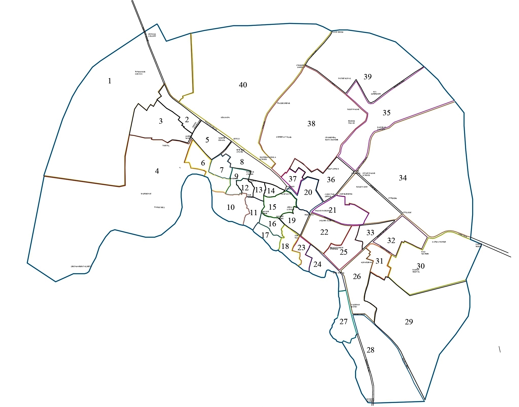
History/City Profile
Jalore’s old name was Jabalipur being the sacred glove of MahirishiJabali. By the passage of time, the name of mountain Kanchangiri& Swarngiri were also frequently used as names of Jalore. It is clear from Kuvalyamana of Udhyothansuri that in 8th Century A.D. it was a prosperous town. At that time Prathihar king VatsaRaja was the ruler. Towards the end of 12th Century A.D. Parmars ruled here. Historians believe that the Jalore fort was built by Parmar rulers. It is known from a stone inscription of 1238 A.D. of the fort that Parmar King Biral’s-queen Maludevi powered Gold win on Sindhu King. At that time from Abut to Umarkot all landmass was ruled by Parmar dynasty Chandan, Devraj, Aparajit,Vijjal, Dhasavarsh and Vishal ascended the throne.
CITY PROFILE

The district is bounded on the northwest by Barmer District, on the northeast by Pali District, on the southeast by Sirohi District, and by Banaskantha District of Gujarat state on the southwest. The total area of the district is 10,640 km2 (4,108 sq mi). The altitude is 268 m, latitude is 25.22 N and longitude is 72.58 E. According to the 2011 census Jalore district has a population of 1,828,730,[3] roughly equal to the nation of Kosovo[4] or the US state of Nebraska.[5] This gives it a ranking of 260th in India (out of a total of 640).[3] The district has a population density of 172 inhabitants per square kilometre (450/sq mi) .[3] Its population growth rate over the decade 2001-2011 was 26.31%.[3] Jalor has a sex ratio of 951 females for every 1000 males,[3] and a literacy rate of 55.58%.[3]
